
Simrad 000-16018-001, NSS 4, SolarMAX HD Display Chartplotter and Fishfinder with C-MAP Discover X North America Chart Card, 16 Inch, Black
$6199.00
Features
PREMIUM ALL-IN-ONE CHARTPLOTTER AND FISHFINDER: NSS 4 delivers powerful navigation and sonar performance in one sleek package—perfect for sportfishing enthusiasts and cruisers who demand precision, speed, and simplicity on the water
SLEEKER: Touchscreen, rotary dial, and keypad all work in harmony for superior control
FASTER: Our most powerful Qualcomm 8-core processor delivers incredible speed, with smoother transitions and faster updates
SMARTER: Advanced fishfinding capabilities include built-in dual channel CHIRP sonar and Active Imaging HD support
CUTTING-EDGE NAVIGATION with the latest C-MAP DISCOVER X or REVEAL X charts, plus support for CMOR Mapping, Standard Mapping, and more to come
INCREDIBLE INTEGRATION across the full Simrad suite, and an extensive range of third party tech such as Mercury SmartCraft Connect and SiriusXM WM-4
NEW, STREAMLINED INTERFACE is quicker at every touchpoint, with the ability to pin apps and customize screens
FISHCAST POWERED BY ROFFS: delivers top-ranked offshore fishing hotspots straight to your device. Subscription required, available through C-MAP
Discover More Best Sellers in Marine GPS Chartplotters
Shop Marine GPS Chartplotters
Garmin vus011r southwest florida sd card over $150

 Marine GPS Chartplotters - Garmin vus011r southwest florida sd card over $150

New-GARMIN VUS008R CHARLESTON TO JACKSONVILLE BLUECHART G2 - 30362
Marine GPS Chartplotters - New-GARMIN VUS008R CHARLESTON TO JACKSONVILLE BLUECHART G2 - 30362


Raymarine E70321 AX8 Thermal Monitoring Camera,
Marine GPS Chartplotters - Raymarine E70321 AX8 Thermal Monitoring Camera,
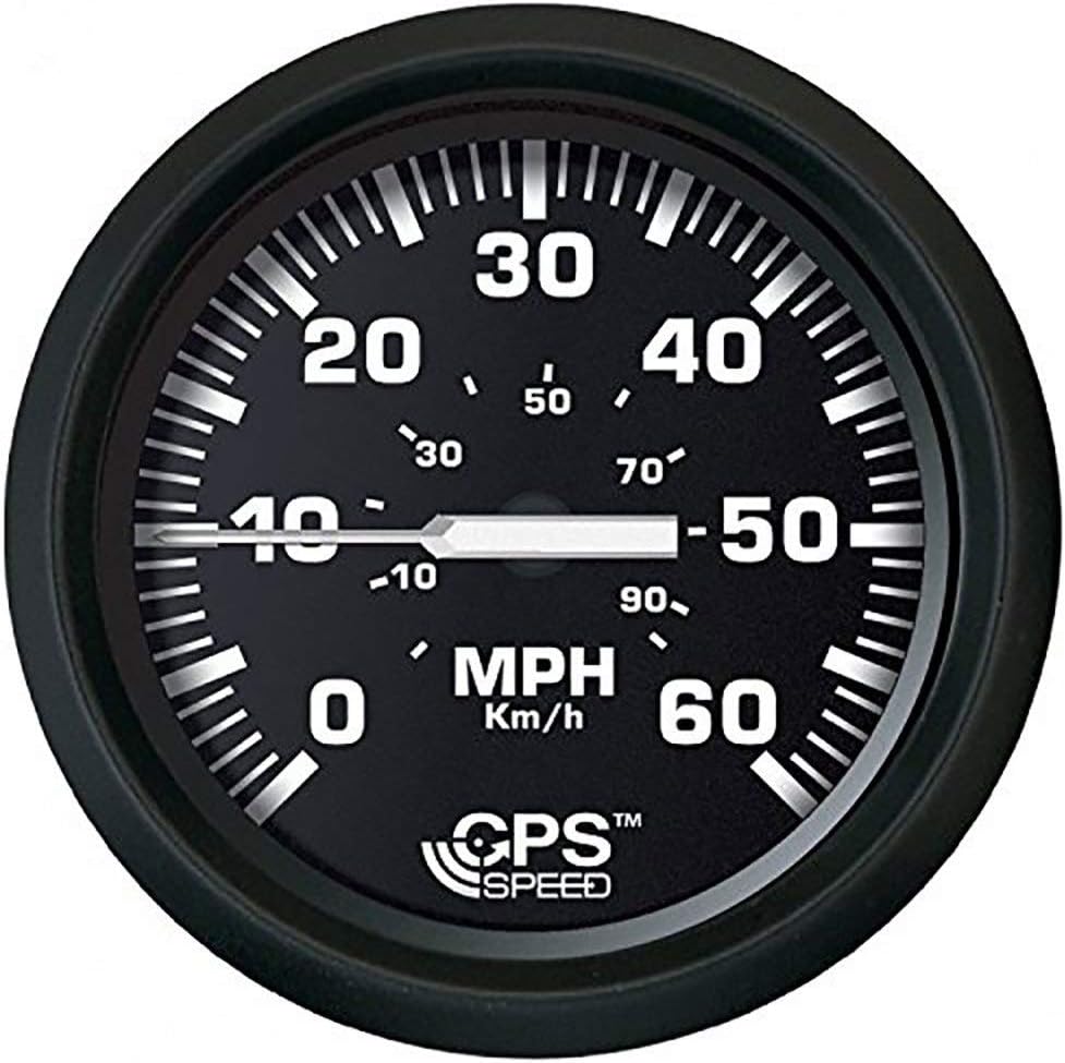
FARIA BEEDE 32816 Euro Speedometer GPS (60 MPH) Studded - 4, Black
Marine GPS Chartplotters - FARIA BEEDE 32816 Euro Speedometer GPS (60 MPH) Studded - 4, Black

VDO Computers Marine Oceanlink Lens 52 mm - N05-801-336
 Marine GPS Chartplotters - VDO Computers Marine Oceanlink Lens 52 mm - N05-801-336

 Marine GPS Chartplotters - C-MAP Reveal Coastal Charts for Marine GPS Navigation with Shaded Relief, Hi-Res Bathymetry, Vectors, Custom Depth Shading

Humminbird LakeMaster Southeast States V1 Map SD Card for Fish Finders
Marine GPS Chartplotters - Humminbird LakeMaster Southeast States V1 Map SD Card for Fish Finders

 Marine GPS Chartplotters - Garmin ECHOMAP UHD2 64sv with GT54 Transducer, 6” Touchscreen Chartplotter, Garmin Navionics+ U.S. Coastal

