

Features
Max detailed charts for cruising, fishing and sailing. Get more than 7,400 lakes in IA, MI, MN, ND, SD, and WI, plus all of Lake of the Woods, Rainy Lake and US waters of the regions Great Lakes. Includes Nautical Chart, a robust chart resource trusted by boaters worldwide. Includes SonarChartTM 1 foot HD bathymetry map that reflects ever changing conditions, and Community Edits, valuable local information added by millions of Navionics Boating app users. Get the most current charts every day with daily updates for one year.
Details
Experience the ultimate adventure on the water with Navionics Plus Regions North Lake Charts on SD/MSD, Black Max. Whether you love cruising, fishing, or sailing, these detailed charts have got you covered. With over 7,400 lakes in IA, MI, MN, ND, SD, and WI, and complete coverage of Lake of the Woods, Rainy Lake, and US waters of the regions Great Lakes, you'll never run out of places to explore.
But what sets these charts apart is their unrivaled accuracy and reliability. With the included Nautical Chart, a trusted chart resource used by boaters worldwide, you can navigate with confidence. No more second-guessing or worrying about hidden obstacles. And with the SonarChartTM 1 foot HD bathymetry map, you'll have access to the most up-to-date information on underwater contours, ensuring you never miss a hotspot again.
What's more, Navionics Plus Regions North Lake Charts also provide Community Edits, which are valuable local insights added by millions of Navionics Boating app users. This means you'll have access to insider tips and information that can enhance your boating experience. From hidden coves to the best fishing spots, you'll have an edge over others.
And the best part? You'll always have the most current charts at your fingertips. With daily updates for one year, you can stay ahead of changing conditions and make the most out of every trip. Don't settle for outdated charts that could put you at risk. Upgrade to Navionics Plus Regions North Lake Charts and take your boating adventures to the next level.
Ready to chart your course? Get Navionics Plus Regions North Lake Charts on SD/MSD, Black Max today and unlock a world of possibilities on the water.
Discover More Best Sellers in Marine GPS Chartplotters
Shop Marine GPS Chartplotters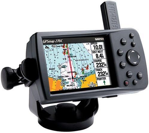

BlueChart g2 Southwest Caribbean - microSD/SD card

 Marine GPS Chartplotters - BlueChart g2 Southwest Caribbean - microSD/SD card

Garmin GMI 20 Marine Instrument Display
 Marine GPS Chartplotters - Garmin GMI 20 Marine Instrument Display

Xantrex XPower 5000 Inverter Dual GFCI Remote ON/OFF UL458
Marine GPS Chartplotters - Xantrex XPower 5000 Inverter Dual GFCI Remote ON/OFF UL458
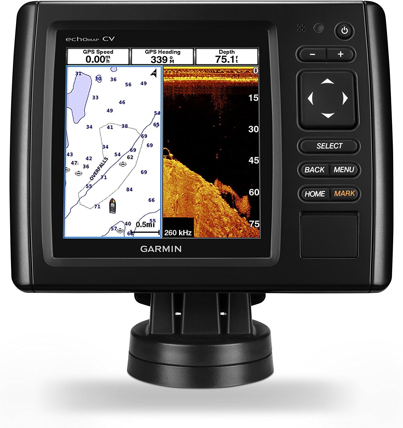
Garmin echoMAP CHIRP 54cv with transducer, 010-01799-01
Marine GPS Chartplotters - Garmin echoMAP CHIRP 54cv with transducer, 010-01799-01

B&G Vulcan 7 Sailing Chartplotter and Multifunction Display - No Transducer Model
Marine GPS Chartplotters - B&G Vulcan 7 Sailing Chartplotter and Multifunction Display - No Transducer Model

Garmin GPSMAP 78S Marine GPS Navigator and World Wide Chartplotter (010-00864-01) (Renewed)
Marine GPS Chartplotters - Garmin GPSMAP 78S Marine GPS Navigator and World Wide Chartplotter (010-00864-01) (Renewed)

Garmin quatix 6X Multisport Marine Smartwatch, Comprehensive Boat Connectivity (010-02157-30)
Marine GPS Chartplotters - Garmin quatix 6X Multisport Marine Smartwatch, Comprehensive Boat Connectivity (010-02157-30)

